
🛰️ GIS & Remote Sensing Solutions
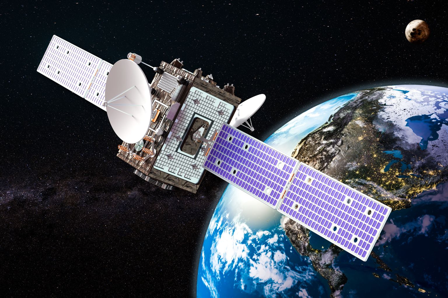
Technology plays a vital role in climate action. With GIS and Remote Sensing, we provide accurate data-driven insights to monitor forests, track emissions, and assess climate risks globally. From satellite imagery to AI-based analysis, our tools make sustainability smarter.
We go beyond compliance we help you tell your sustainability story in a way that builds trust with investors, regulators, and customers.
🌍 Why Choose Us?
- Use of cutting-edge geospatial tools and AI analysis.
- Global expertise in forest mapping, land use, and carbon sinks.
- Precise monitoring for climate risk management and offset projects.
- Experienced team working across India, Africa, Southeast Asia, and beyond.
🔄 Our Process
01
Mapping
Capture land cover and forest data via satellite.
04
Report
Provide actionable maps and climate insights.
02
Data Integration
Combine remote sensing with ground-level surveys.
05
Monitoring
Continuous tracking for project verification and reporting.
03
Analysis
Assess carbon stocks, environmental, and climate risks.

Get In Touch
-
C-5/70 Third Floor, New Kondli, East Delhi Delhi- 110096
-
Mon - Sat 9 Am - 7 PM